Lizards in West Virginia
6 species of lizards have a mapped range in West Virginia. The most widespread is the Common Five-lined Skink, mapped across all of the state.
The most restricted is the Six-lined Racerunner, mapped in 1% of the state.
The heaviest is the Broad-headed Skink, at 2.4 oz (68 g); the lightest is the Little Brown Skink, at 0.1 oz (3.9 g).
The most species are mapped in Wayne County (5); the fewest in Barbour County (2).
Open-licence records in the state (240 of them) peak in July and are fewest in January.
They belong to 3 families; the largest here is Scincidae, with 4 species.
- 2
- 3
- 4
- 5
| Species | Size | Share of West Virginia | Active | Records | |
|---|---|---|---|---|---|
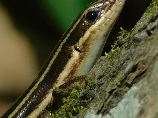 | Common Five-lined Skink Plestiodon fasciatus Scincidae | 3.4 in (86 mm) snout to vent | all | day | 87 |
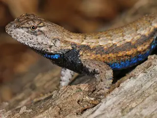 | Eastern Fence Lizard Sceloporus undulatus Phrynosomatidae | 3.6 in (91 mm) snout to vent | all | day | 195 |
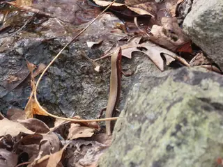 | Coal Skink Plestiodon anthracinus Scincidae | 2.8 in (70 mm) snout to vent | 50% | day | 5 |
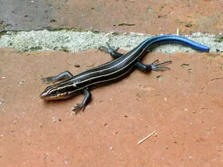 | Broad-headed Skink Plestiodon laticeps Scincidae | 5.6 in (143 mm) snout to vent | 37% | day | 5 |
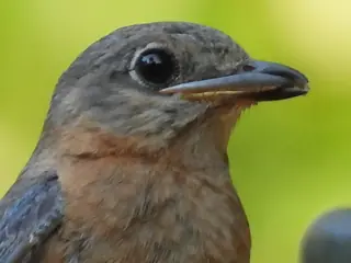 | Little Brown Skink Scincella lateralis Scincidae | 2.3 in (59 mm) snout to vent | 15% | day | 1 |
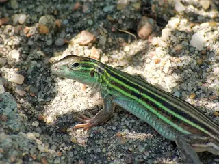 | Six-lined Racerunner Aspidoscelis sexlineatus Teiidae | 3.6 in (91 mm) snout to vent | 1% | day |
Share of West Virginia is the part of the state inside the species' USGS range map. Size is the largest on record where the source gives a maximum, otherwise a typical adult. Records are open-licence observations and specimens in the state; a blank means none were counted, not that the species is absent.
More West Virginia lists
Other groups in West Virginia
Lizards in nearby states
Sources
- GBIF Backbone Taxonomy. CC BY 4.0. Read 2026-11-15.
- GBIF occurrence records under CC0 and CC BY 4.0. CC0 and CC BY 4.0 per record. Read 2026-11-15.
- ReptTraits v1.2. CC BY 4.0. Read 2026-11-15.
- US Census Bureau cartographic boundary files 2023. Public domain (US Census Bureau). Read 2026-11-15.
- USGS GAP 12-digit hydrologic unit range units. Public domain (USGS). Read 2026-11-15.
- USGS Gap Analysis Project Species Range Maps CONUS_2001. Public domain (USGS). Read 2026-11-15.
- iNaturalist photographs under CC0 and CC BY. CC0 and CC BY per photograph. Read 2026-11-15.
How each figure is derived is set out on the methods page.