Owls in South Dakota
9 species of owls have a mapped range in South Dakota. 6 are mapped across the whole state, among them the Burrowing Owl, the Great Horned Owl and the Long-eared Owl.
The most restricted is the Northern Pygmy-owl, mapped in under 1% of the state.
The heaviest is the Snowy Owl, at 4.5 lb (2.0 kg); the lightest is the Northern Pygmy-owl, at 2.2 oz (61 g).
Of these, 5 are mapped year-round, 1 in summer only and 3 in winter only.
The most species are mapped in Yankton County (8); the fewest in Brown County (7).
Open-licence records in the state (221 of them) peak in May and are fewest in November.
The most often recorded is the Burrowing Owl, with 120 open-licence records in the state.
They belong to 2 families; the largest here is Strigidae, with 8 species.
- 7
- 8
| Species | Size | Share of South Dakota | Active | Records | |
|---|---|---|---|---|---|
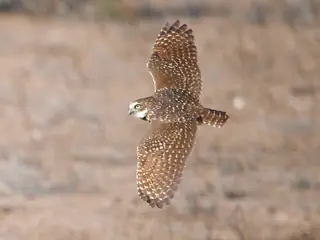 | Burrowing Owl summer Athene cunicularia Strigidae | 5.3 oz (151 g) | all | night | 120 |
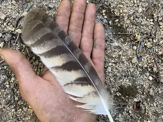 | Great Horned Owl Bubo virginianus Strigidae | 3.0 lb (1.4 kg) | all | night | 73 |
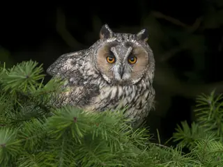 | Long-eared Owl Asio otus Strigidae | 10.5 oz (297 g) | all | night | 17 |
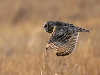 | Short-eared Owl Asio flammeus Strigidae | 11.4 oz (323 g) | all | night | 51 |
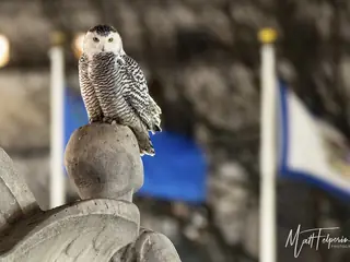 | Snowy Owl winter Bubo scandiacus Strigidae | 4.5 lb (2.0 kg) | all | 34 | |
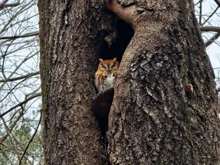 | Eastern Screech-owl Megascops asio Strigidae | 6.3 oz (180 g) | all | night | 20 |
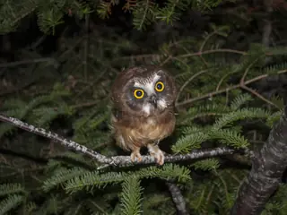 | Northern Saw-whet Owl winter Aegolius acadicus Strigidae | 3.6 oz (101 g) | 99% | night | 15 |
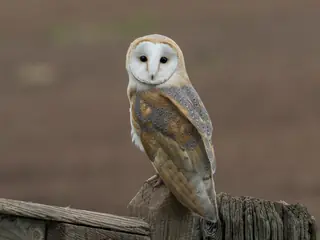 | Barn Owl Tyto alba Tytonidae | 14.2 oz (403 g) | 46% | night | 3 |
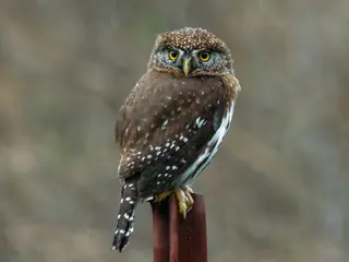 | Northern Pygmy-owl winter Glaucidium gnoma Strigidae | 2.2 oz (61 g) | under 1% | night |
Share of South Dakota is the part of the state inside the species' USGS range map. Size is the largest on record where the source gives a maximum, otherwise a typical adult. Records are open-licence observations and specimens in the state, with eBird left out; a blank means none were counted, not that the species is absent.
Other groups in South Dakota
Owls in nearby states
Sources
- AVONET: morphological ecological and geographical data for all birds. CC BY 4.0. Read 2026-11-15.
- EltonTraits 1.0. CC0. Read 2026-11-15.
- GBIF Backbone Taxonomy. CC BY 4.0. Read 2026-11-15.
- GBIF occurrence records under CC0 and CC BY 4.0. CC0 and CC BY 4.0 per record. Read 2026-11-15.
- US Census Bureau cartographic boundary files 2023. Public domain (US Census Bureau). Read 2026-11-15.
- USGS GAP 12-digit hydrologic unit range units. Public domain (USGS). Read 2026-11-15.
- USGS Gap Analysis Project Species Range Maps CONUS_2001. Public domain (USGS). Read 2026-11-15.
- iNaturalist photographs under CC0 and CC BY. CC0 and CC BY per photograph. Read 2026-11-15.
How each figure is derived is set out on the methods page.