Squirrels and chipmunks in Oregon
22 species of squirrels and chipmunks have a mapped range in Oregon. The most widespread is the Yellow-bellied Marmot, mapped across 71% of the state.
The most restricted is the Townsend's Ground Squirrel, mapped in under 1% of the state.
The longest is the Yellow-bellied Marmot, at 20 in (506 mm); the shortest is the Least Chipmunk, at 4.4 in (112 mm).
USGS marks 2 of them as introduced in the state: the Eastern Fox Squirrel and the Eastern Gray Squirrel.
The most species are mapped in Jackson County (12); the fewest in Clatsop County (3).
Open-licence records in the state (12,203 of them) peak in September and are fewest in January.
The most often recorded is the Townsend's Chipmunk, with 2,352 open-licence records in the state.
By the trait records, 21 are active by day and 1 is active at night.
- 3 to 4
- 5 to 6
- 7 to 8
- 9 to 10
- 11 to 12
| Species | Size | Share of Oregon | Active | Records | |
|---|---|---|---|---|---|
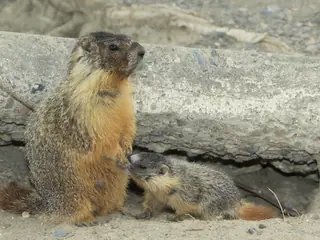 | Yellow-bellied Marmot Marmota flaviventris Sciuridae | 20 in (506 mm) body | 71% | day | 203 |
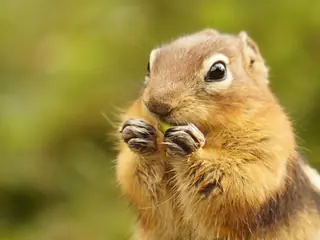 | Golden-mantled Ground Squirrel Callospermophilus lateralis Sciuridae | 12 in (310 mm) body | 70% | day | 1,106 |
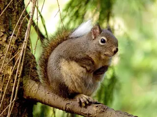 | Douglas's Squirrel Tamiasciurus douglasii Sciuridae | 9.1 in (230 mm) body | 67% | day | 1,396 |
 | Belding's Ground Squirrel Urocitellus beldingi Sciuridae | 13 in (321 mm) body | 66% | day | 748 |
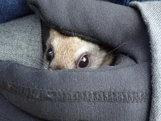 | Northern Flying Squirrel Glaucomys sabrinus Sciuridae | 11 in (268 mm) body | 65% | night | 591 |
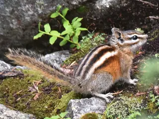 | Least Chipmunk possible Tamias minimus Sciuridae | 4.4 in (112 mm) body | 56% | day | 559 |
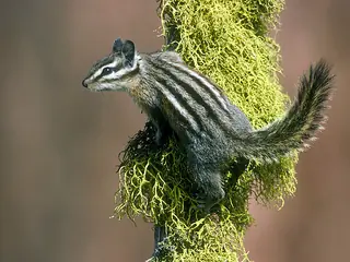 | Yellow-pine Chipmunk possible Tamias amoenus Sciuridae | 4.6 in (118 mm) body | 53% | day | 1,514 |
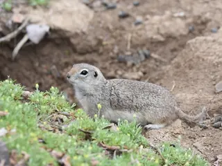 | Merriam's Ground Squirrel Urocitellus canus Sciuridae | 16 in (406 mm) body | 42% | day | 329 |
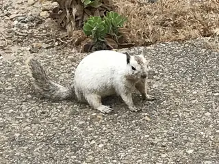 | California Ground Squirrel Otospermophilus beecheyi Sciuridae | 14 in (366 mm) body | 39% | day | 326 |
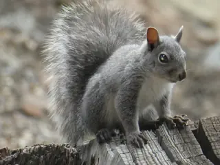 | Western Gray Squirrel Sciurus griseus Sciuridae | 12 in (293 mm) body | 33% | day | 853 |
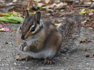 | Townsend's Chipmunk Tamias townsendii Sciuridae | 5.5 in (139 mm) body | 30% | day | 2,352 |
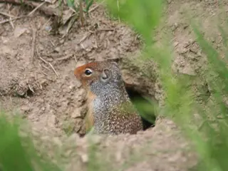 | Columbian Ground Squirrel Urocitellus columbianus Sciuridae | 14 in (351 mm) body | 20% | day | 184 |
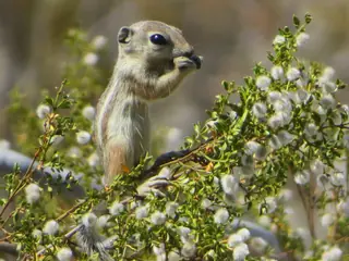 | White-tailed Antelope Squirrel Ammospermophilus leucurus Sciuridae | 6.3 in (160 mm) body | 20% | day | 155 |
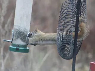 | Red Squirrel Tamiasciurus hudsonicus Sciuridae | 7.5 in (190 mm) body | 15% | day | 611 |
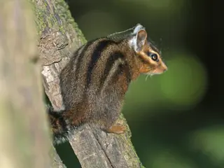 | Shadow Chipmunk Tamias senex Sciuridae | 5.7 in (145 mm) body | 11% | day | 178 |
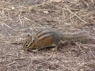 | Siskiyou Chipmunk Tamias siskiyou Sciuridae | 5.7 in (145 mm) body | 10% | day | 392 |
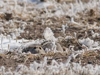 | Piute Ground Squirrel Urocitellus mollis Sciuridae | 11 in (290 mm) body | 6% | day | 15 |
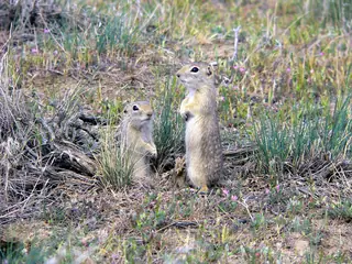 | Washington Ground Squirrel Urocitellus washingtoni Sciuridae | 11 in (286 mm) body | 2% | day | 54 |
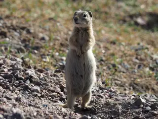 | Wyoming Ground Squirrel Urocitellus elegans Sciuridae | 12 in (308 mm) body | 2% | day | 7 |
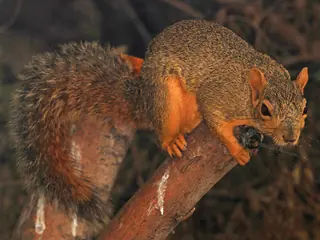 | Eastern Fox Squirrel introducedpossible Sciurus niger Sciuridae | 16 in (418 mm) body | under 1% | day | 231 |
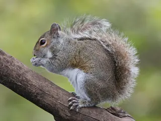 | Eastern Gray Squirrel introducedpossible Sciurus carolinensis Sciuridae | 12 in (315 mm) body | under 1% | day | 562 |
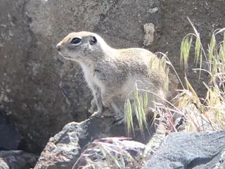 | Townsend's Ground Squirrel Urocitellus townsendii Sciuridae | 11 in (290 mm) body | under 1% | day | 16 |
Share of Oregon is the part of the state inside the species' USGS range map. Size is the largest on record where the source gives a maximum, otherwise a typical adult. Records are open-licence observations and specimens in the state; a blank means none were counted, not that the species is absent.
Other groups in Oregon
Squirrels and chipmunks in nearby states
Sources
- COMBINE: a coalesced mammal database of intrinsic and extrinsic traits. CC BY 4.0. Read 2026-11-15.
- EltonTraits 1.0. CC0. Read 2026-11-15.
- GBIF Backbone Taxonomy. CC BY 4.0. Read 2026-11-15.
- GBIF occurrence records under CC0 and CC BY 4.0. CC0 and CC BY 4.0 per record. Read 2026-11-15.
- PanTHERIA 1.0. CC0. Read 2026-11-15.
- US Census Bureau cartographic boundary files 2023. Public domain (US Census Bureau). Read 2026-11-15.
- USGS GAP 12-digit hydrologic unit range units. Public domain (USGS). Read 2026-11-15.
- USGS Gap Analysis Project Species Range Maps CONUS_2001. Public domain (USGS). Read 2026-11-15.
- iNaturalist photographs under CC0 and CC BY. CC0 and CC BY per photograph. Read 2026-11-15.
How each figure is derived is set out on the methods page.