Wildlife in Texas
USGS range maps place 834 species of birds, mammals, reptiles and amphibians in Texas: 462 birds, 147 mammals, 151 reptiles and 74 amphibians.
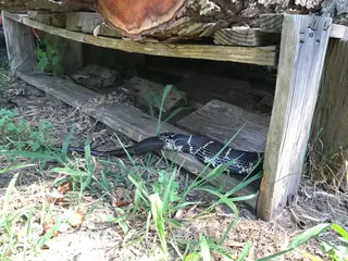 Snakes77 species
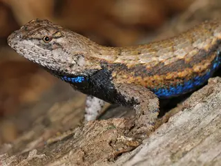 Lizards43 species
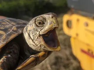 Turtles30 species
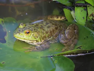 Frogs and toads43 species
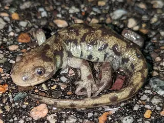 Salamanders31 species
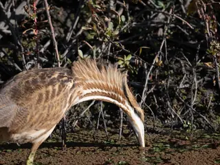 Birds462 species
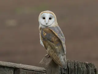 Owls14 species
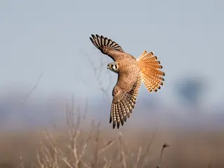 Hawks, eagles and falcons28 species
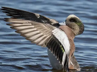 Ducks, geese and swans36 species
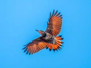 Woodpeckers14 species
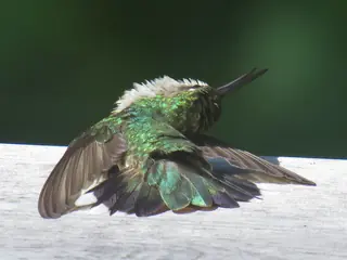 Hummingbirds7 species
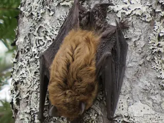 Mammals147 species
- Bats30 species
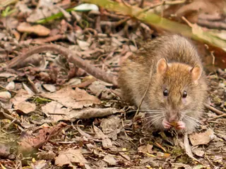 Rodents70 species
The venomous species are the Western Diamond-backed Rattlesnake, the Copperhead, the Massasauga, the Texas Coralsnake, the Cottonmouth, the Prairie Rattlesnake, the Timber Rattlesnake, the Black-tailed Rattlesnake, the Pygmy Rattlesnake, the Rock Rattlesnake and the Mohave Rattlesnake. All belong to the groups the CDC lists for the United States (rattlesnakes, copperheads, cottonmouths and coral snakes).
The most species are mapped in Aransas County (474); the fewest in Yoakum County (325).
USGS marks 11 of them as introduced in the state: the Brown Rat, the Eurasian Collared-dove, the European Starling, the House Mouse, the House Sparrow and 6 more.
- 325 to 350
- 351 to 376
- 377 to 400
- 401 to 426
- 427 to 474
Venomous and introduced species
By kind
- Blackbirds and orioles 19
- Chorus frogs 4
- Copperheads and cottonmouths 2
- Deer, elk and moose 7
- Doves and pigeons 9
- Eagles 2
- Falcons 6
- Finches 9
- Foxes 4
- Garter snakes and ribbon snakes 5
- Gulls and terns 18
- Herons and egrets 12
- Horned lizards 3
- Jays, crows and ravens 12
- Kingsnakes and milksnakes 4
- Map turtles 4
- Rabbits and hares 5
- Rat snakes 5
- Rattlesnakes 8
- Sea turtles 5
- Shrews 6
- Skinks 7
- Sparrows 35
- Spiny lizards and fence lizards 8
- Squirrels and chipmunks 13
- Swallows 8
- Toads 10
- Treefrogs 5
- True frogs 9
- Warblers 44
- Watersnakes 8
- Weasels, otters and badgers 4
- Whiptails and racerunners 10
- Wrens 9
Nearby states
Sources
- CDC NIOSH venomous snakes and venomous spiders pages. Public domain (CDC). Read 2026-11-15.
- US Census Bureau cartographic boundary files 2023. Public domain (US Census Bureau). Read 2026-11-15.
- USGS GAP 12-digit hydrologic unit range units. Public domain (USGS). Read 2026-11-15.
- USGS Gap Analysis Project Species Range Maps CONUS_2001. Public domain (USGS). Read 2026-11-15.
How each figure is derived is set out on the methods page.